
Putting Nature Recovery on the Map: How Communities Are Shaping York’s Green Future
Uncategorized Friday 29 May 2026
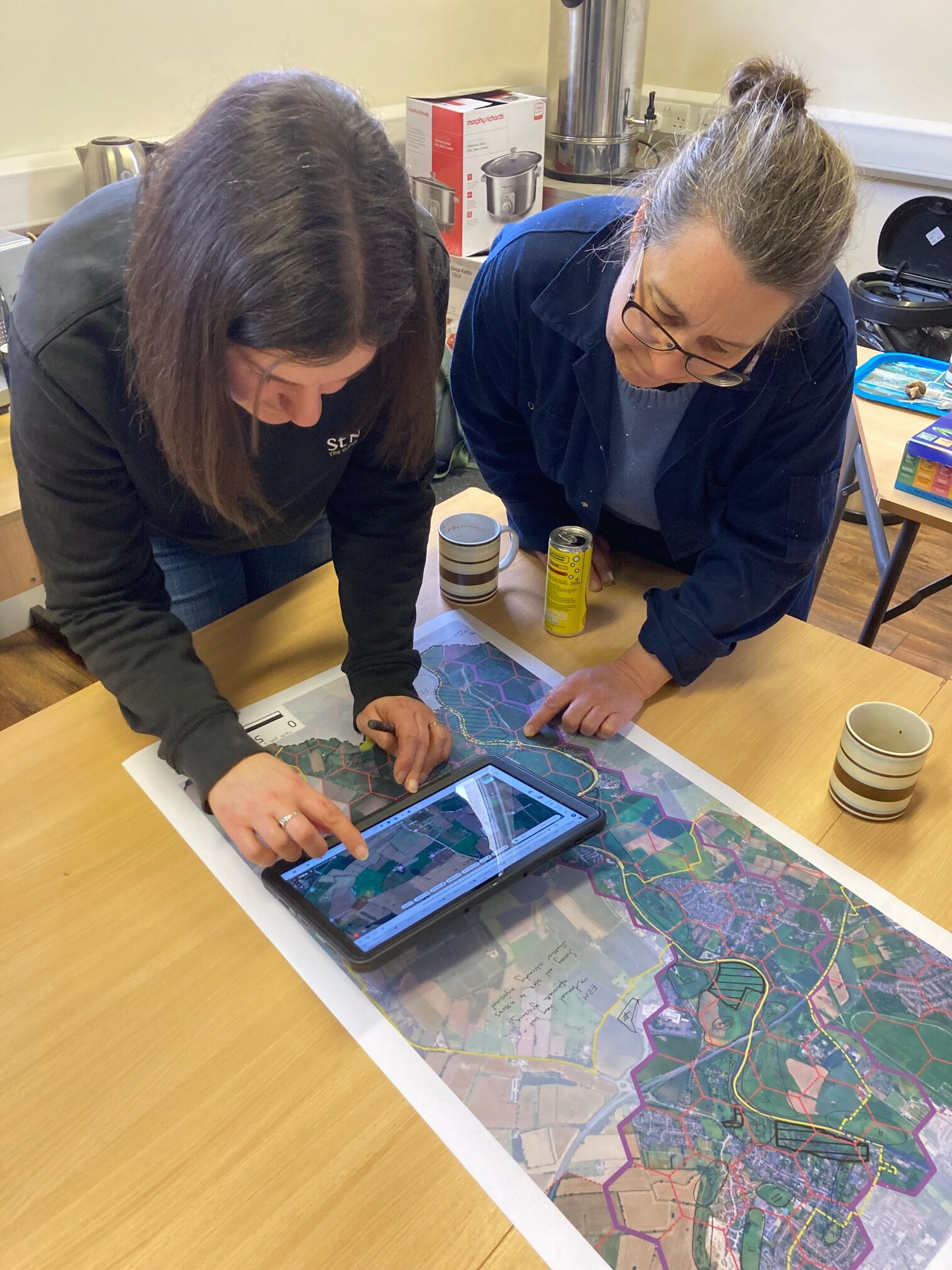
Workshop attendees mapping the neighbourhood
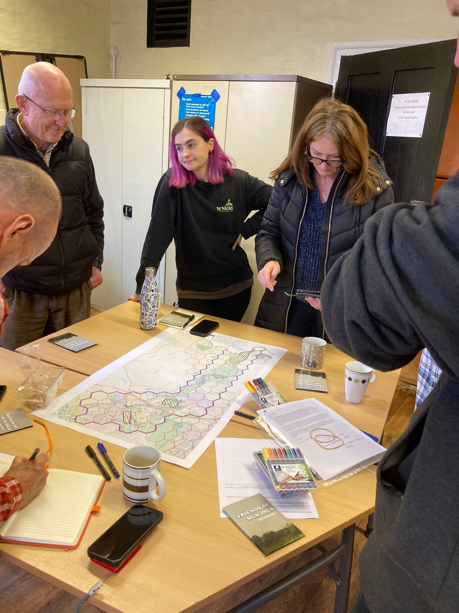
Participants coming together for the mapping exercise
By Steve Cinderby and Jean Mckendree, Stockholm Environment Institute, University of York
Green Corridors in Action: The York Integration Pilot
The recently produced Local Nature Recovery Strategies (LNRS) are linked to national policies to improve the UKs spaces for biodiversity. LNRS are intended to generate lists of measures that could locally deliver the biggest nature improvements plus co-benefits for communities and climate. Nationally, LNRS measures were mapped by region at a broad-scale (either spatially or in terms of the details of what changes to make) and the implementation challenge is how to downscale these strategies to specific places, communities and actions. Learning from YPIP has highlighted that to be most successful, this requires the next stage of organisational and community engagement to ensure place-based relevance.
One such example is the Stockholm Environment Institute’s ‘Future Yorkshire Landuse’ integration pilot study linking LNRS implementation with the St.Nicks demonstrator Green Corridors project utilising existing work and relationships to test and demonstrate the value of improved knowledge exchange and coordination in increasing nature recovery. It is building on the ‘Wild York’ interactive map of public green spaces to demonstrate a model of community-connected nature recovery that may be adapted and applied in other communities. In collaboration with City of York Council these partners convened a series of workshops with land managers, biodiversity experts, council environmental officers, parish councillors, charities and local environmental groups working in public green spaces across the city. The workshop participants used their detailed knowledge from “on-the-ground” experience to create participatory maps of green spaces to target LNRS measures and generate prioritised lists of measures.
Why Downscaling Strategies Requires Community Engagement
These engagements highlighted the depth of knowledge held in these different communities including local ecological histories, active knowledge from sampling of the current distribution of key species (such as the seriously endangered Tansy beetle), current land ownership and the potential for habitat and biodiversity improvements. Introducing maps into the discussions enabled participants to collaborate and communicate their knowledge effectively, helping to stimulate shared understanding of the potential for improvement on different land parcels. These range from roadside verges and riverside plots to enlarging existing nature reserves across the city.
By combining the individual groups maps, the YPIP team have been able to compile the first complete overview of where LNRS measures could be applied and the initial priority areas that may be the most straightforward to implement in the immediate future. Coordinating across the city and between groups in this way will enable the participants to work more effectively together maximising the benefits of any improvements. The mapping may also provide a benchmark against which to monitor implementation and improvements as actions take place. Future plans are to share this information through an online community platform so participants and residents can share updates, monitor biodiversity improvements in line with LNRS policy goals and stimulate wider engagement of residents in greenspace enhancement. Practical on the ground changes are already being delivered through these engagements enabling practical conservation at new sites to improve local nature, remove invasive species (such as Himalayan balsam) and expand riverside habitat patches.
Delivering Early Action While Planning for Climate Change
There are many remaining challenges in York to delivering the potential of LNRS. A key factor that YPIP will be investigating before the end of the project is factoring in future climate predictions into land use plans so that the planned biodiversity benefits are resilient to changing future environmental conditions. Whilst some of the planned land use improvements simply require greater coordination, sharing of skills and existing equipment, other challenges include getting groups to work together effectively, identifying and engaging land owners, enabling overworked council environmental officers to contribute efficiently, and, of course, finding funding. The YPIP team are investigating funding mechanisms that could resource activities at the community identified priority sites, ideally through connecting with other national polices such as Biodiversity Net Gain or Countryside Stewardship Scheme.
Scaling Up Community-Connected Nature Recovery
The YPIP work on York biodiversity improvements has demonstrated the benefits of bringing local communities and other stakeholders together to share and enhance expertise and knowledge and coordinate actions across a wider scale. The learning from YPIP has attracted interest from other urban places across the Yorkshire and Humber region and we are working with contacts over the remainder of 2026 to develop local skills and capture recommendations on how to better deliver nature recovery in place for the benefit of biodiversity, people and climate resilience.
Check out previous blogs sharing more about this work and other activities from this team:
Partners










Related post
“Gerrin’ on wi’ it” podcast series – episode 9
In this episode of Gerrin' on wi' it, guests Rich Crisp from Sheffield Hallam University and TJ Clark from the...

Chain Lane – Evidencing Strength-Based Community Led Social Action
This report presents an analysis of Chain Lane Community Hubʼs ways of working, examining whether and how they support and...
“Gerrin’ on wi’ it” podcast series – episode 8
In this episode of Gerrin’ On Wi’ It on the Research and Innovation Podcast, host Lauren Cox is joined by...
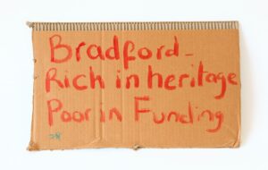
Knowledge, Collaboration and Time: Reflections on Working with Peer Researchers
In this blog, academic researchers Matthew Reason and Clare Danek consider the role of peer researchers within their Communities Innovating...
“Gerrin’ on wi’ it” podcast series – episode 7
In this episode of Gerrin’ On Wit’ It, host Lauren Cox sits down with Kayleigh Renberg-Fawcett, Place Team Lead at...

Communities in their Places: A review of example social action across the Yorkshire region
This report presents a comparative review of 112 social action initiatives in the Yorkshire and Humber region.